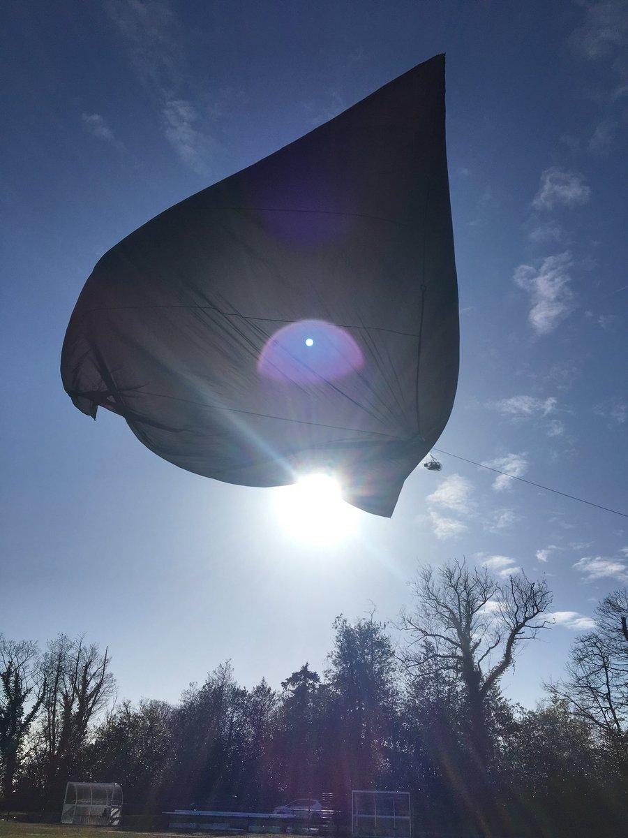
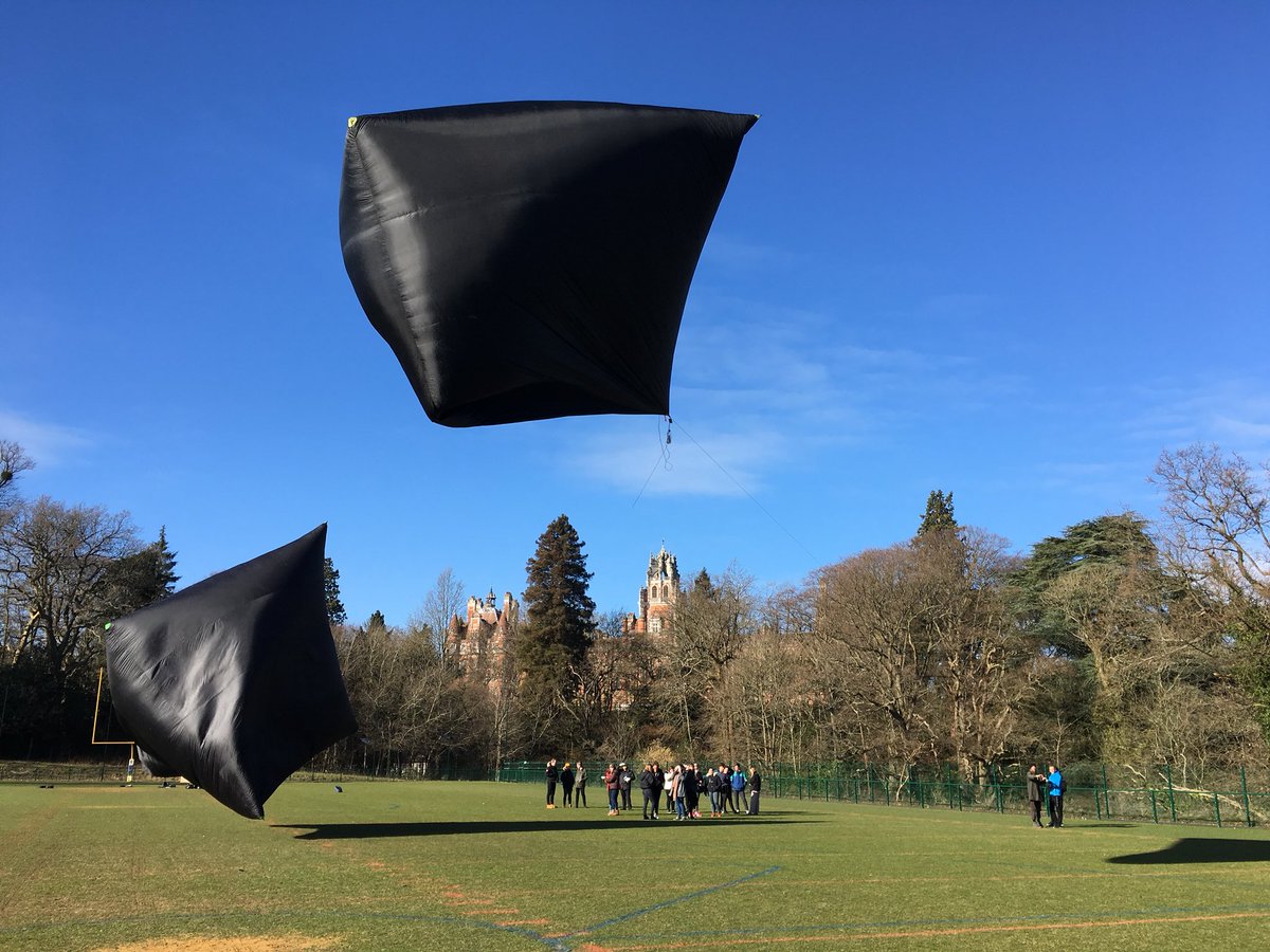
The launch went well!
Here are some updates:
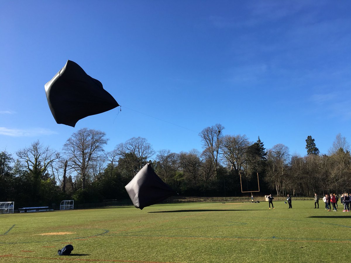
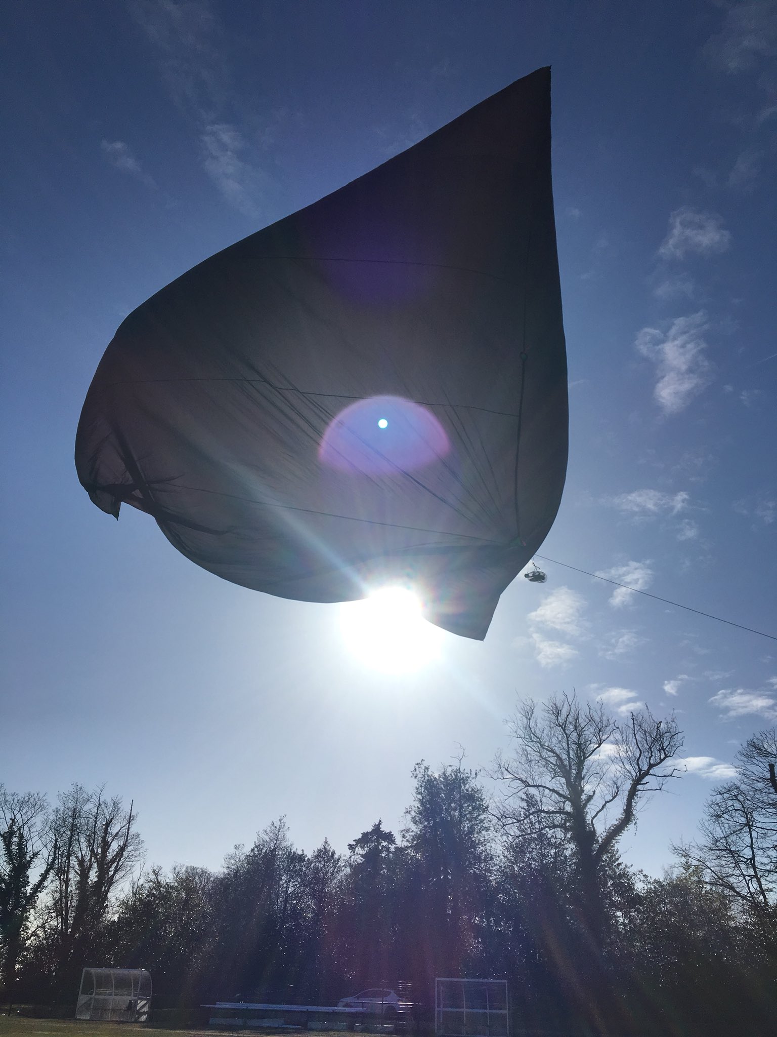
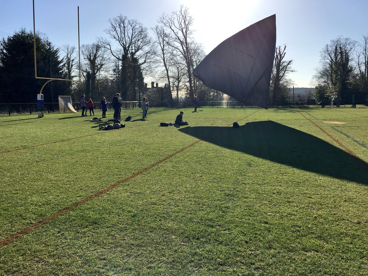
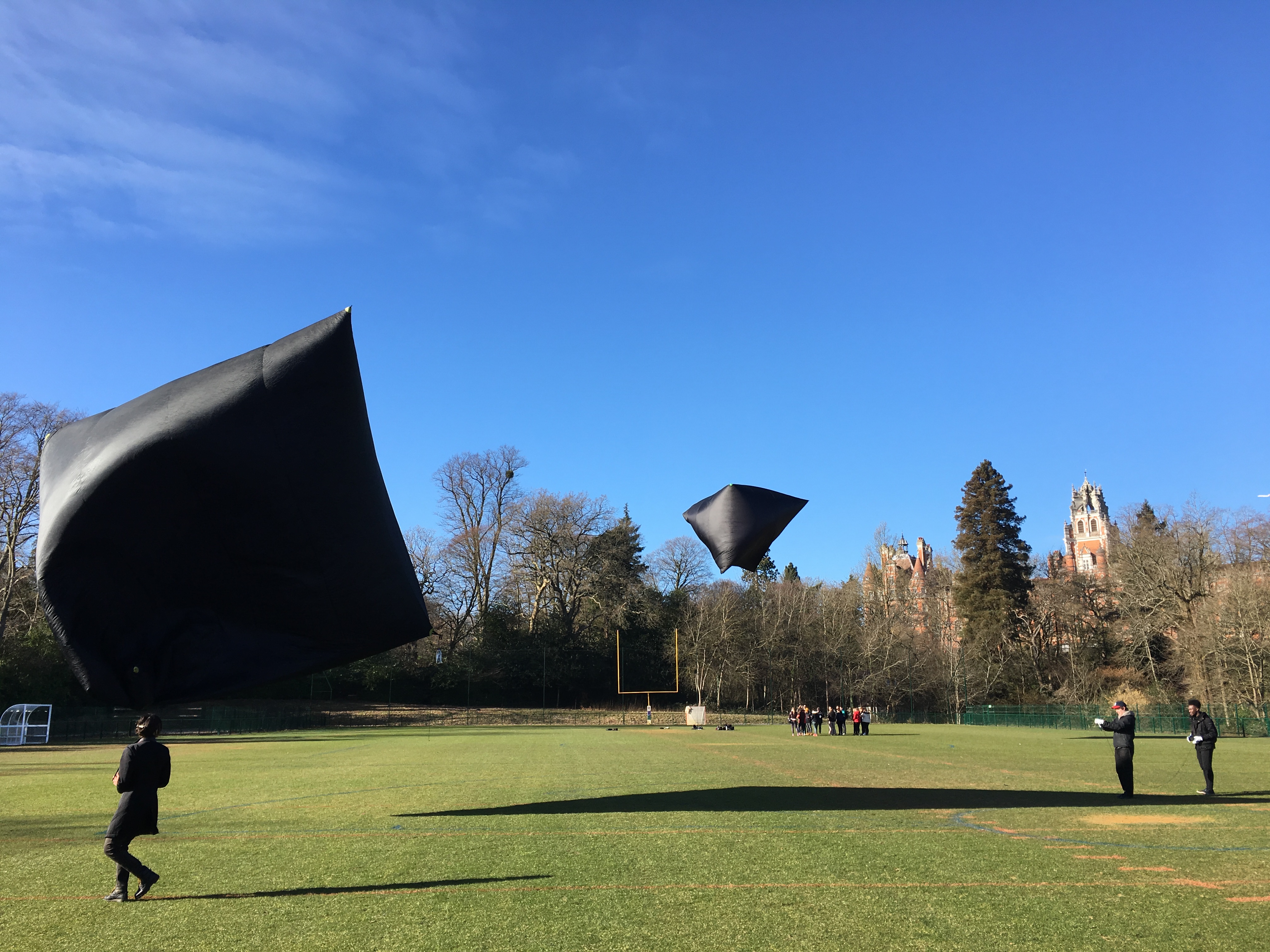
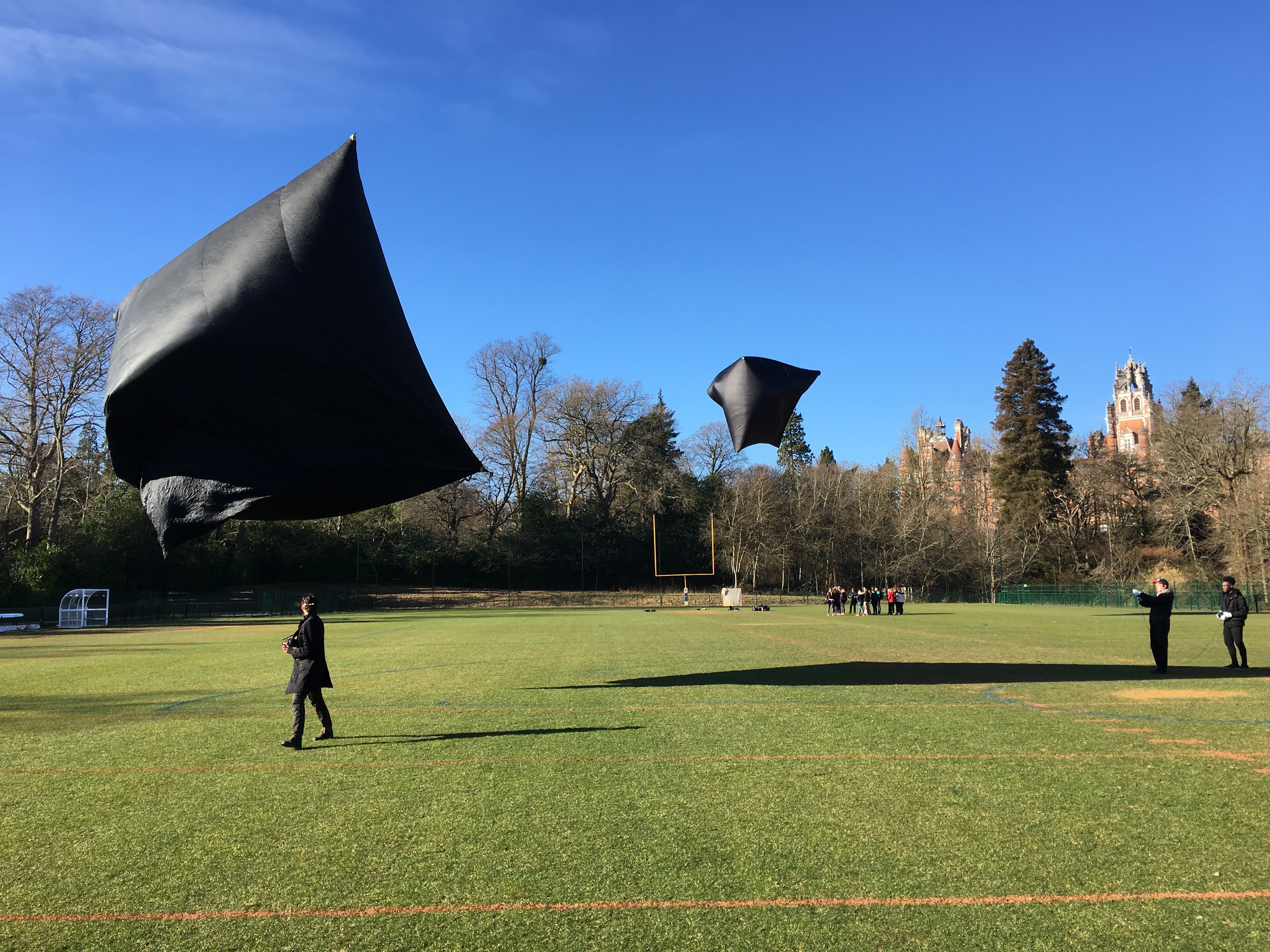
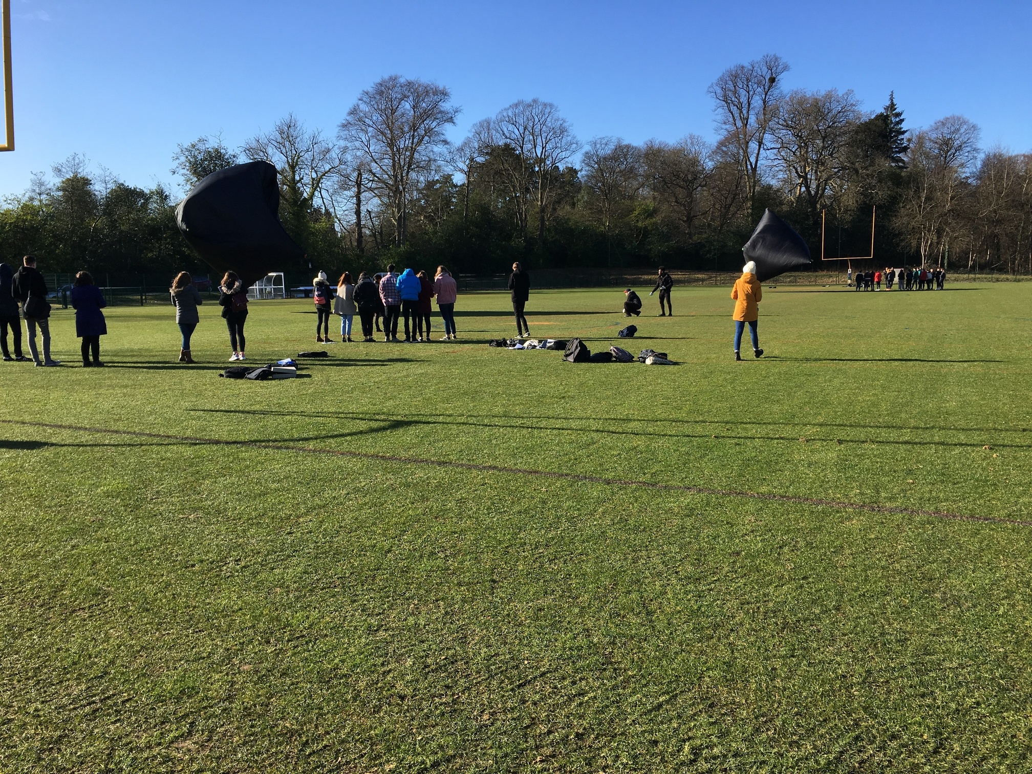
The weather was great. Not a cloud in the sky. But the wind was a bit too strong - close to 10 mph - which made it a bit difficult to achieve lots of lift / height from the Aerocenes.
The students did all of the steps for launching the Aerocene Explorers with me and Jol Thomson supervising them.
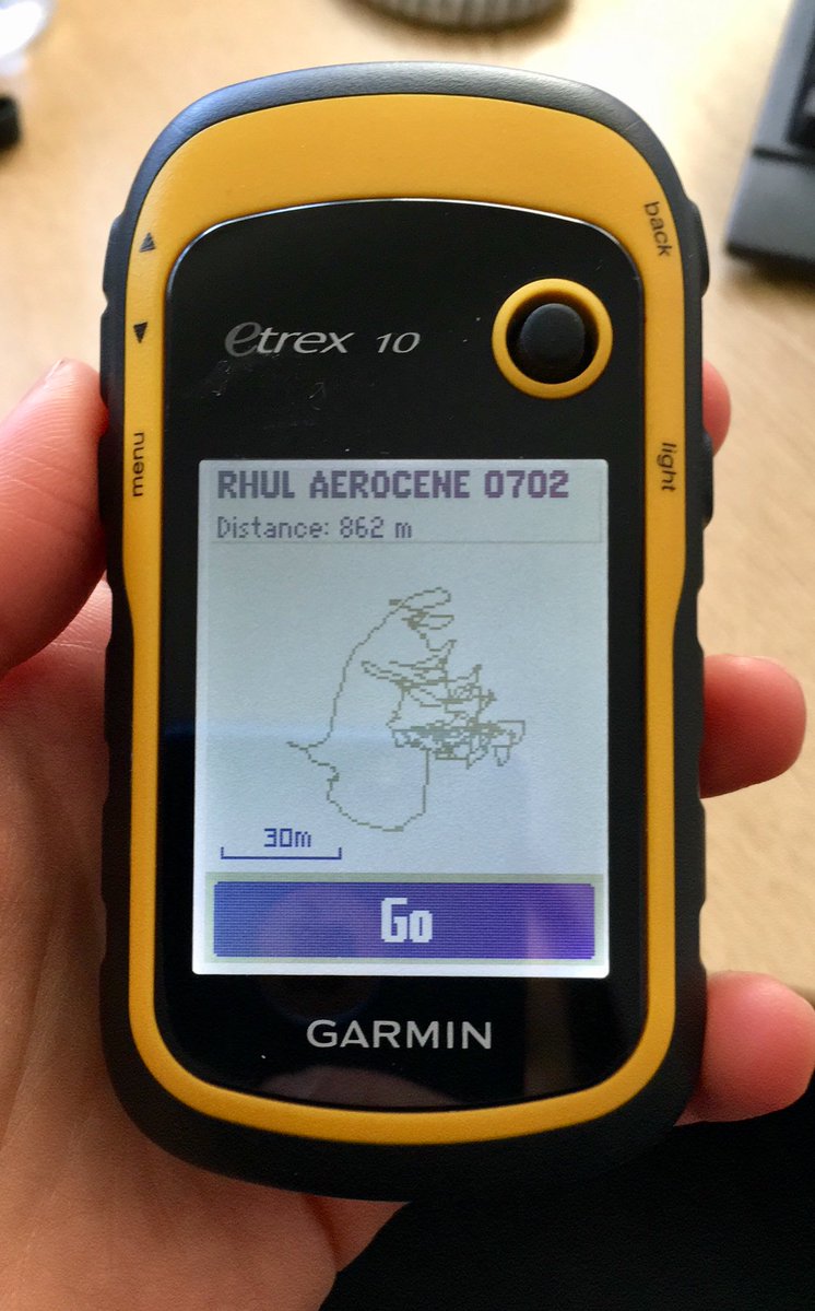
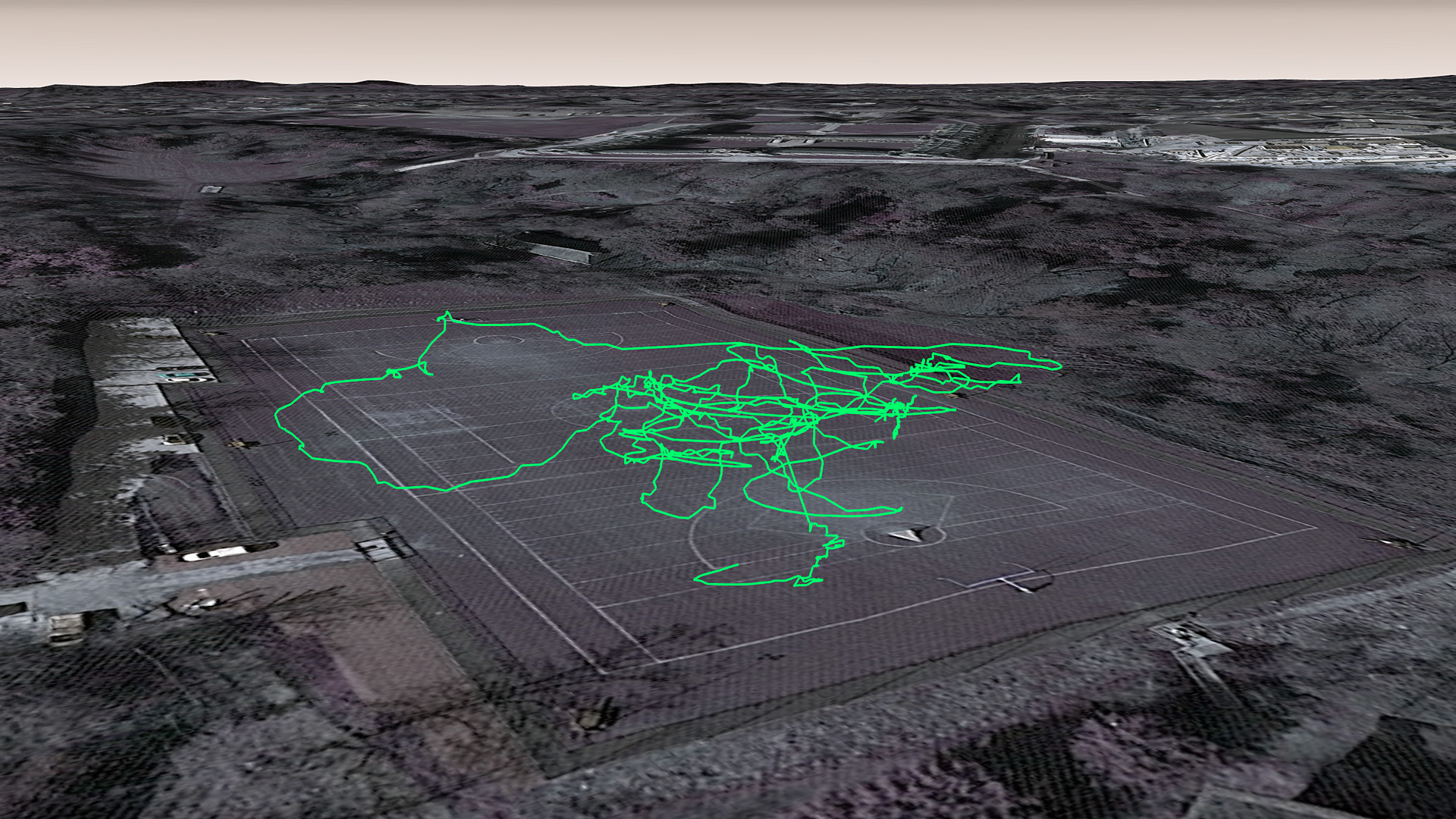
I attached a Garmin to one sculpture for flight data, and have a new ‘track’ that I would love to download and work with in Google Earth, much like after the Lancaster launch.
Here are some photos that I took - but I think my students took some better ones!
Sasha