Hey!
After the recent free flight taking place at Schönfelde in Berlin on 09.06.18, I got in touch with @Joaquin for help converting the GPS data we had(as csv) into a functioning kml. He was able to point out a great way to achieve this, so we wanted to share the process with you and anybody that might be asking the same question! 

Hey @Gwilym! Thanks for taking the time to post this! Here goes the method:
First try I realized lat long were inverted, then I corrected this with Open Office spreadsheet.
Then pasted coordinates into existing Free flight kml.
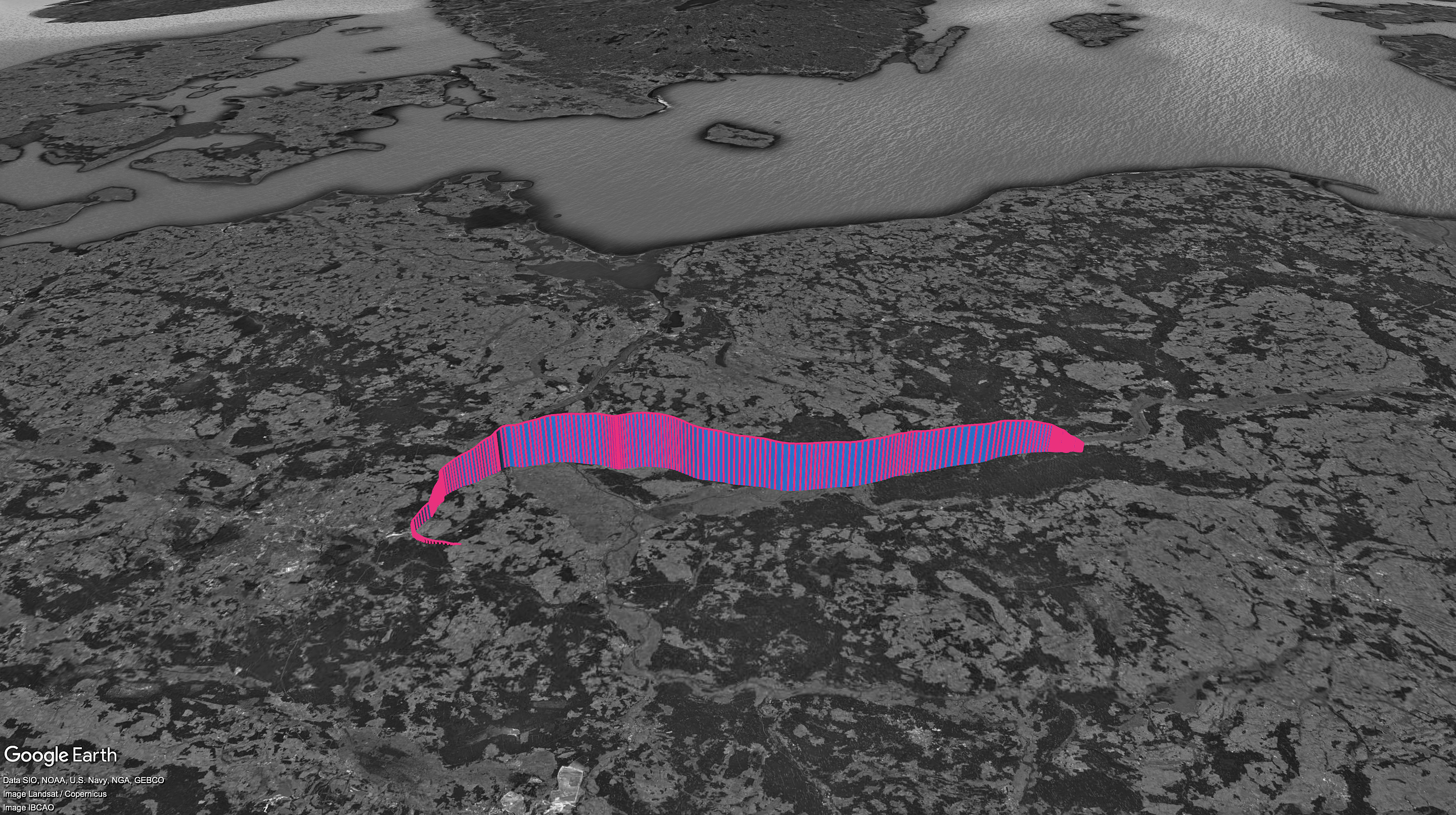
Resulting image attached, as well as kml file and process screenshots.