Hi Everyone, Hi @Joaquin
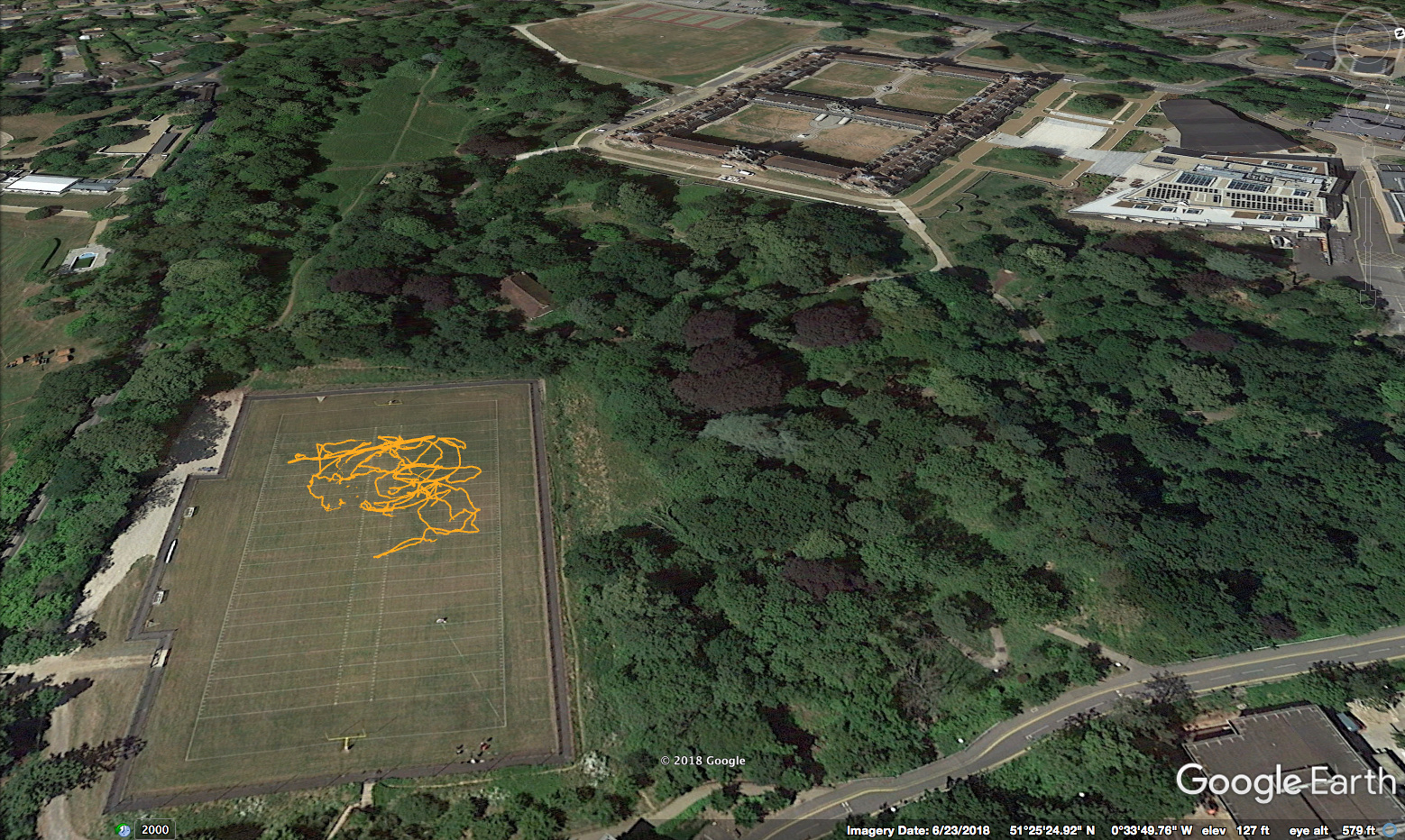
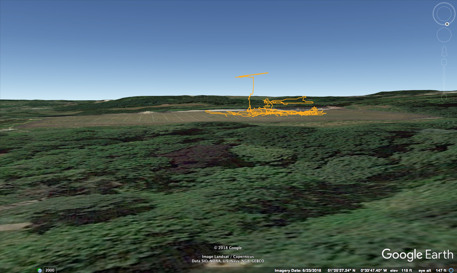
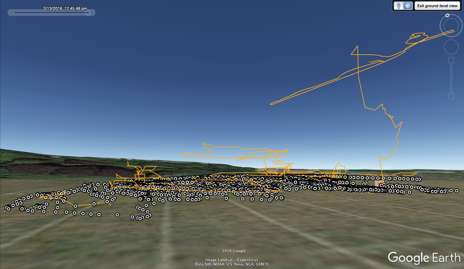
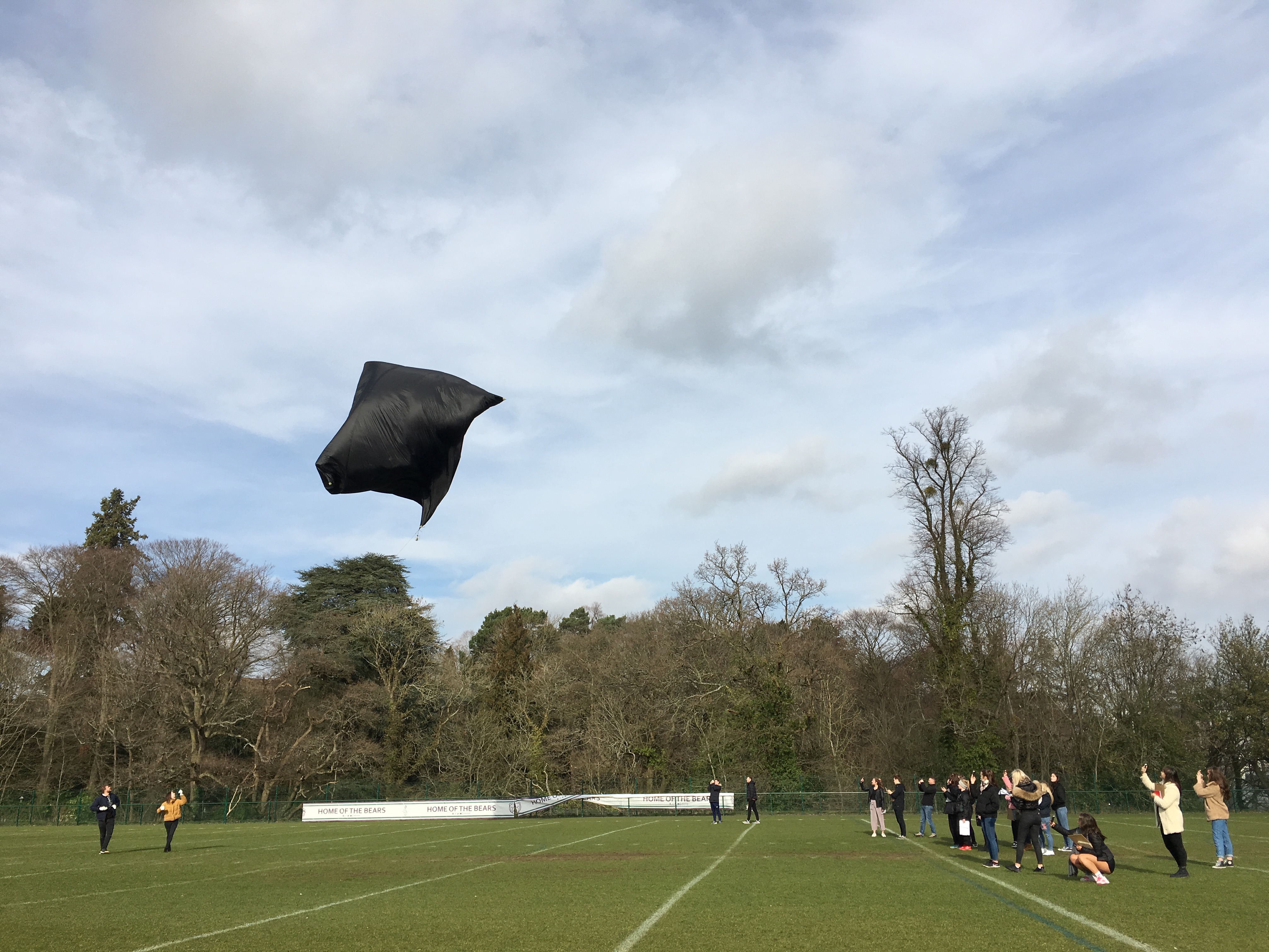
I have just downloaded data from a double Aerocene flight at Royal Holloway University last Wednesday.
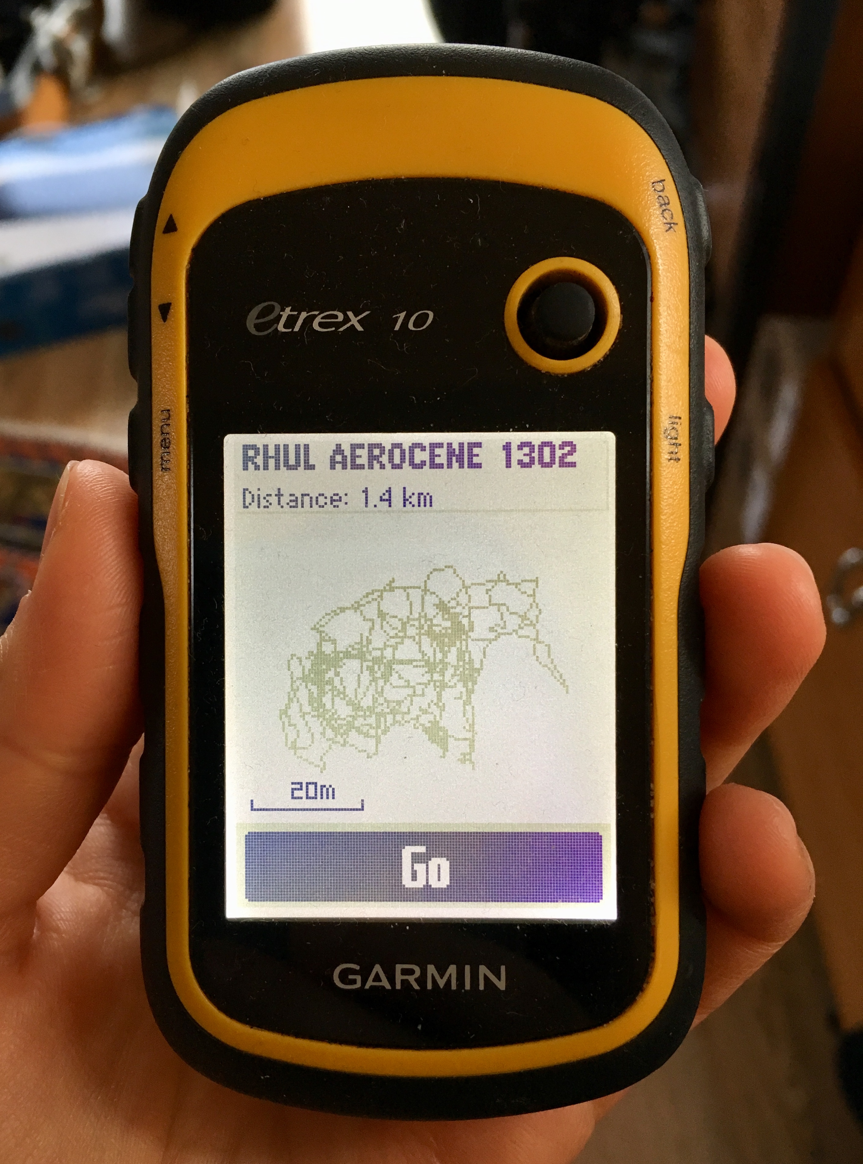
The trajectory was not as spectacular as in the images pasted above in this thread from Aerocene flights in Salinas, but I would still like to work with the data further and I am particularly interested in overlaying the track on an image to produce a hybrid visual story / signature in the air. I was also thinking about combining the track from the aerocene flight we did last year with the one we did last week (both on the same field!) to create a historical record of signatures in the air at Royal Holloway.
What I have so far is the KML file in Google Earth. Any advice on translating this into an image, and combining two tracks from different moments in time, is much appreciated!